See snow before you choose your trail
See where snow starts, how much of the route is affected, and whether the trail looks runnable today.
NOAA / NOHRSC
Data source
3 m
Trail tread
Map + profile
Route output
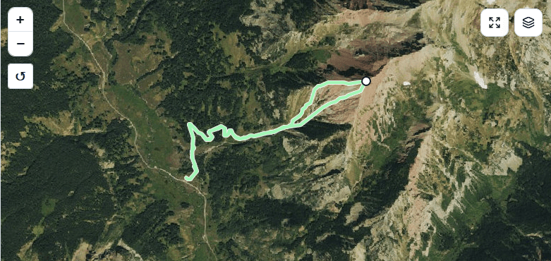
Your route, checked against current NOAA snow data.
See where the snow signal touches the trail before you decide what to wear, carry, or run.
Races
Signed up for one of these races? Click or tap a card to load its route, check the snow, and see whether the course is ready for a smart preview before race day.
Peaks
Heading into a summit day like this without preparation can go sideways fast. Load one of these classic peaks, check the snow, and head out with the right timing, layers, traction, and respect for the mountain.
About SnowTrail
The idea for SnowTrail was born out of a real need. After more than 10 years of training in the mountains of Taos, NM, snow conditions on the trails have always been a constant challenge. Heading out without the right information often meant postholing, dealing with black ice, and facing tricky situations on the mountain.
Official data sources, like the National Operational Hydrologic Remote Sensing Center (NOHRSC), provide valuable information on snow depth, but it is presented in broad blocks. Cross-referencing that general data with the exact path of a specific trail is a difficult task.
To solve this problem, I developed this web application, which pulls data directly from the official NOHRSC API. SnowTrail keeps the map and snow-depth legend front and center so you can see where snow starts, where it deepens, and how much of the route will be affected before heading out. This helps you decide if you need to pack spikes, snowshoes, or just your trail running shoes.
My hope is that this tool provides real utility and helps keep you safe on your future adventures.